Introduction:
Maps are not merely lines and symbols on paper; they represent our understanding of the world around us. In the United Kingdom, one organization has been at the forefront of creating and maintaining accurate maps for over two centuries. Ordnance Survey, the national mapping agency of Great Britain, has played a pivotal role in shaping our perception of the British landscape. From its humble beginnings in 1791 to its current digital prowess, Ordnance Survey continues to be the go-to source for comprehensive geographic information.

A Rich History:
Ordnance Survey’s roots can be traced back to the late 18th century when the threat of war with France necessitated the need for accurate maps. In response, the British government established the Board of Ordnance to undertake a national survey of Great Britain. This marked the birth of what would become one of the most respected mapping agencies in the world.

Early Challenges and Triumphs:
The early days of Ordnance Survey were filled with challenges. Surveyors braved difficult terrains, endured harsh weather conditions, and employed traditional surveying techniques to painstakingly measure and map the landscape. With a spirit of adventure and an unwavering commitment to accuracy, they produced maps that were unprecedented in their level of detail.

Revolutionizing Mapping Techniques:
As technology advanced, so did Ordnance Survey’s methods. Aerial photography, introduced in the early 20th century, revolutionized the way the agency collected data. Instead of relying solely on ground surveys, photographs taken from above allowed for a more comprehensive view of the landscape. Over time, remote sensing technologies and GPS became integral tools, enabling even greater precision in mapping.

The OS MasterMap: A Digital Revolution:
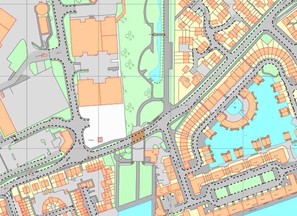
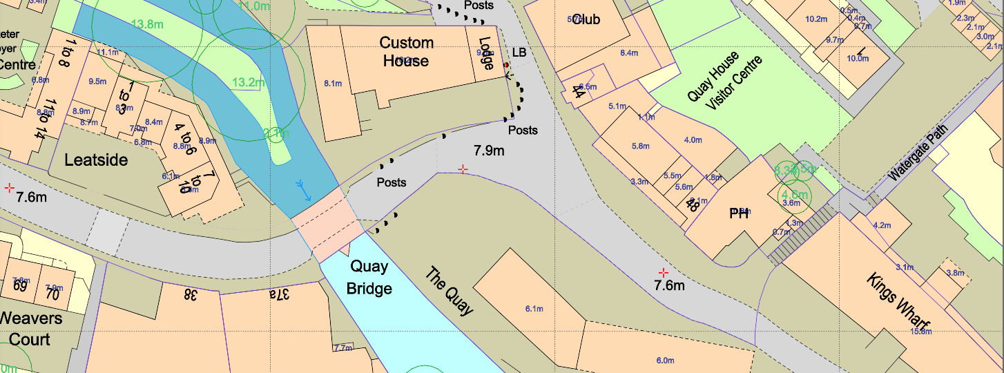
In recent years, Ordnance Survey has embraced the digital age, ushering in a new era of mapping. The agency’s flagship product, the OS MasterMap, represents a cutting-edge digital mapping database. It provides an extensive array of information, ranging from detailed road networks and building footprints to terrain contours and land use patterns. The OS MasterMap has become an invaluable resource for professionals and the general public alike.

Beyond Maps:
While mapping is at the core of its mission, Ordnance Survey has expanded its services to cater to diverse needs. The agency offers customized mapping solutions tailored to specific industries, geospatial data licensing for research and development purposes, and a range of digital mapping applications. These applications empower users to explore and interact with geographic data, unlocking new possibilities for analysis and planning.

Reliable and Trusted:
Ordnance Survey’s commitment to accuracy and reliability has earned it a reputation that extends far beyond the borders of Great Britain. Its maps are renowned for their meticulous detail, making them an indispensable resource for various sectors. Government agencies rely on Ordnance Survey data for urban planning, infrastructure development, and emergency response. Businesses utilize the maps for location analysis, logistics planning, and marketing strategies. Outdoor enthusiasts trust Ordnance Survey to guide their adventures and ensure their safety.

Conclusion:
Ordnance Survey stands as a testament to the power of accurate and up-to-date mapping. From its humble beginnings to its current digital prowess, it has remained at the forefront of the field, adapting to changing technologies and evolving needs. The maps and geographic information provided by Ordnance Survey have become woven into the fabric of Great Britain, influencing decision-making, shaping landscapes, and connecting people with their surroundings. As we continue to navigate the world, both physically and virtually, we can rely on Ordnance Survey to lead the way, ensuring that our maps reflect the ever-changing nature of our dynamic world.


